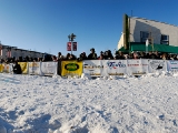
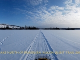
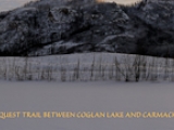
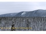
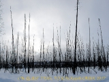
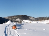
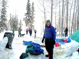
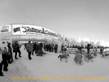
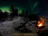
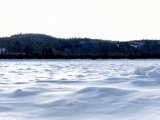
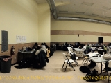
In 2005 I followed the quest “virtually’ from the finish line at Fairbanks Alaska. I was waiting for my musher friend William to get to the finish line at Fairbanks and was tracking his progress via the Yukon Quest website on my laptop computer. I was struck [and frustrated] by the fact that there were no images of the venues, trail conditions, or ‘along the trail’ images offered on the web site. The names STEPPINGSTONE- SCROGGIE CREEK – McCABE CREEK- EAGLE SUMMIT- CENTRAL, all evoked a strong curiosity. What were these places like? And being a photographer I wanted a visual answer. So, starting in 2007 I started to follow the Yukon Quest Mushers down the trail on snow mobile, satisfying my curiosity along the way. I created the following panoramas to share with ‘ virtual’ Questers the settings mentioned on the web, and to help you better understand the mushers world seldom travelled by ‘normal people’…
no images were found
